Cougar Mine
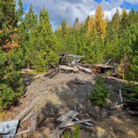
If you have a passion for the outdoors and are seeking a remote location to hunt, relax, camp out and visit the remnants of a historical gold mining town …. well here you go! The tiny town of Granite may be small in population but it does have a big history. This unique find has been in the same family for several generations with a lot of legends to tell!
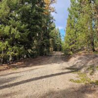
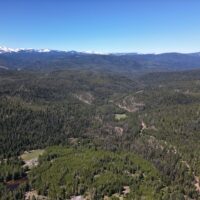
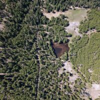
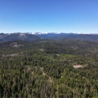
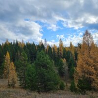
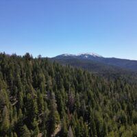
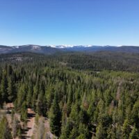
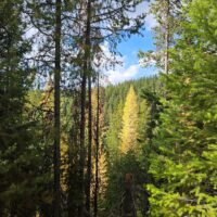
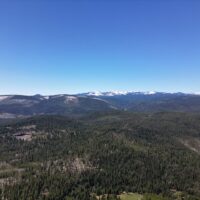
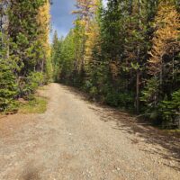
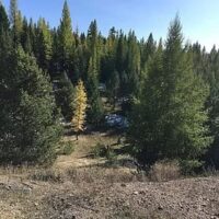
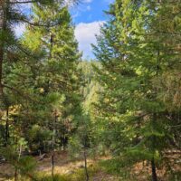
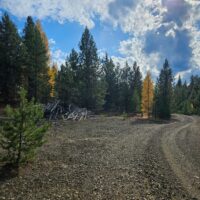
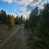
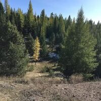
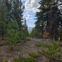
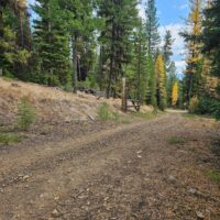
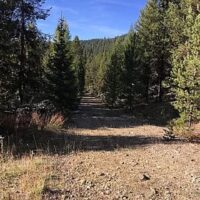
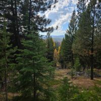
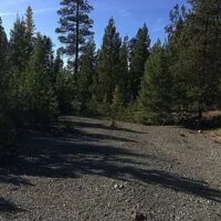
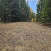
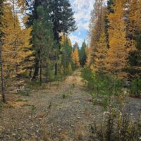
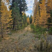
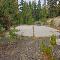
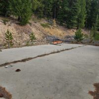
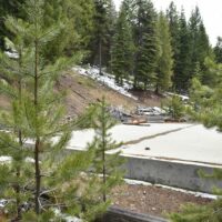
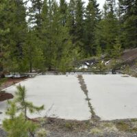
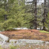
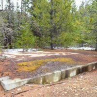
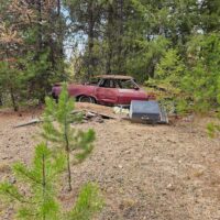
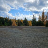
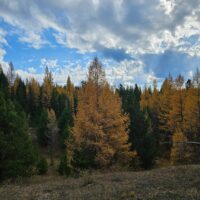
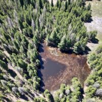
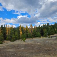
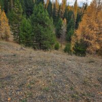
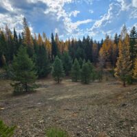
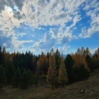
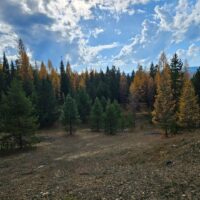
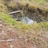
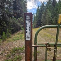
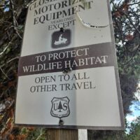
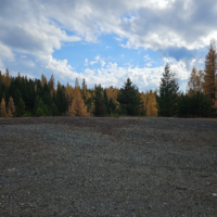
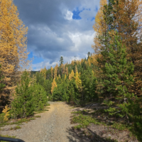
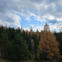
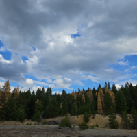
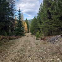
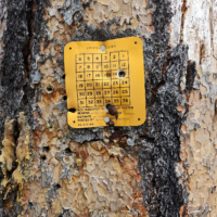
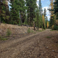
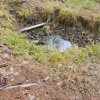
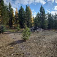
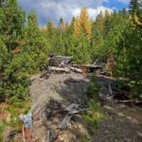
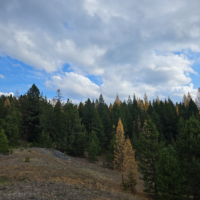
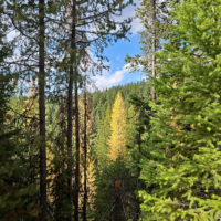
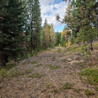
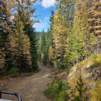
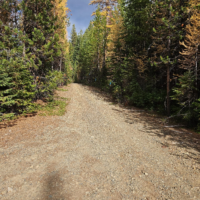
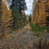
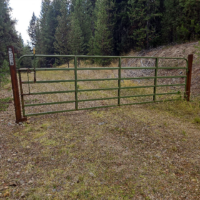
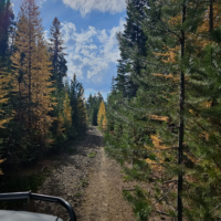
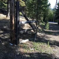
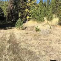
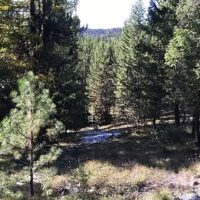
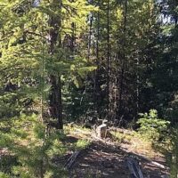
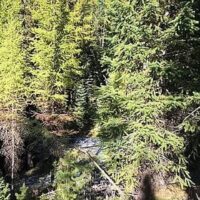
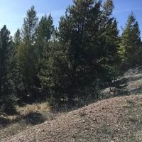
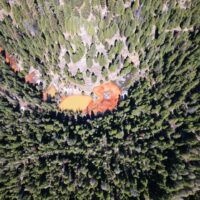
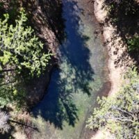
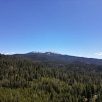
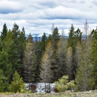
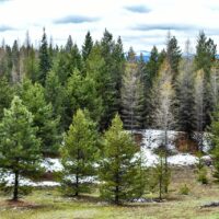
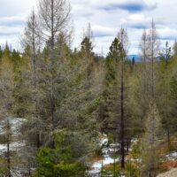
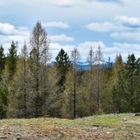
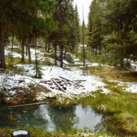
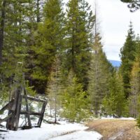
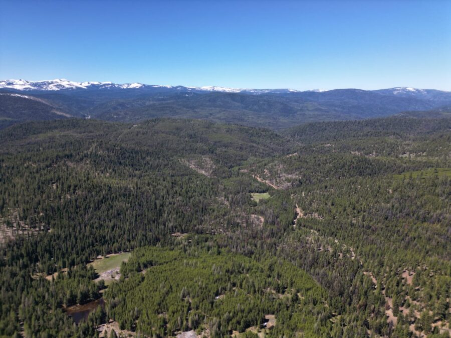
This secluded, 135 acre holding is located north of Granite with good access overall for viewing in an ATV or 4WD. The base property is just off paved NF73 road then onto the dirt NF-600, with easy to access less than a mile into a light stand of nice timber, numerous mining claims and a handful of undeveoped springs. All this is off grid with no utilities, is not fenced , however, it does provide plenty of recreational opportunities. Elk, deer and other wildlife call this their home. This unique multiple use property includes 7 patented mining claims including Tame Cat, South Cougar, Excelsior, Eureka, Monte Christo, Wild Cat and Cougar lodes – it does not include Albatross or Valkyrie. Property borders one private landowner and the Umatilla National Forest on 3 sides and is in the Desolation hunting unit. Good trails are in place for hiking or mountain biking and it is not far from the old mining town of Granite and renowned Red Boy Mine. The spectacular scenery of Olive Lake is a refreshing place to spend a nice afternoon fishing or picnicking just a short jaunt down the road. Lots to see and do for a family adventure and investment of a lifetime for generations to come. This is a very historical location with lots of interesting chronology and has glimpes of the past and yesteryear documented on the links below. Must see to appreciate. Quit claim, as is, where is price. Purchaser to verify current building regulations. Zoned Primary Forest. Taxes $444. Located in T8S R35E TL1100 SEC 28. Buyers to provide prequalification of purchase before viewing. Buyers broker to be present at all showings. Photos provided by Seller, Broker and Sue Stovall Photography. Video and drone footage courtesy of Final Approach Videography, Cliff Smith, FAA Licensed Drone Pilot.
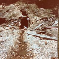
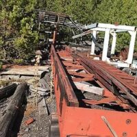
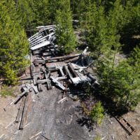
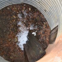
This link is the Cougar Mine. It was last actively worked/expanded in the 1990s. The elevations shown are where the entrances are and were large enough to drive equipment into.
Here are tidbits on the town of Granite with information which can also be found in the links below. Granite has 12 producing mines immediately around the town, including the famous Red Boy, the May Queen, Cougar, Magnolia, Ajax, Quebec, Polar Star, Bellevue, Inter-Mountain, Tempest, Buffalo and Intrinsic. There are 2,122 mining locations recorded in the Granite district, and many of them give every promise of becoming producers. Hundreds of tons of machinery are going in to the Granite mines, and Baker and Grant counties are now spending $6,000 in improving the road between Sumpter and the new town. Surveys for the Granite-Hilgard railway have been made, and depot grounds at Granite have been granted and accepted.
New and promising mines are constantly being discovered all over the region, and Granite bids fair to become an important center of golden activity.
With more than eighty percent of the men in the area directly employed in the mining industry, the viability of the area’s economy practically collapsed when gold mining was made illegal during World War II. The city had a population of 45 in 1930, 86 in 1940, 40 in 1950, and two in 1960.
Although electrical service, provided by a local power plant on Clear Creek, and telegraph and later telephone lines were operational in the early days, they fell out of use and were abandoned after World War II. Modern telephone service was extended to Granite in the year 2000.
As of the 2000 census, the city had a total population of 24, up from its population of 10 in 1990.
Property is located on Elkhorn Road-NF 73 to FS road 600
Buyer to provide prequalification before viewing. Brokers must be present at all showings.
Links to the history of Granite:
https://offbeatoregon.com/H105_Granite.htm
https://www.oregon.gov/dogami/milo/Pages/index-minemaps.aspx
